Enhanced GIS and Hydraulic Modeling Capabilities
Geographic Information Systems (GIS) have evolved over the last 20 years into the standard of the industry for developing comprehensive maps that use the underlying data to provide numeric and graphical results, that aid engineers and planners in project specific analysis for their clients. From applying land use and zoning information to developing future demand forecasts, to linking client billing data to hydraulic models, comprehensive evaluations over large geographic areas become routine. The availability of GIS data sets has grown exponentially due to advances in hardware and software, but more importantly due to the Agencies throughout the world who have developed and shared the data to foster advances for all.
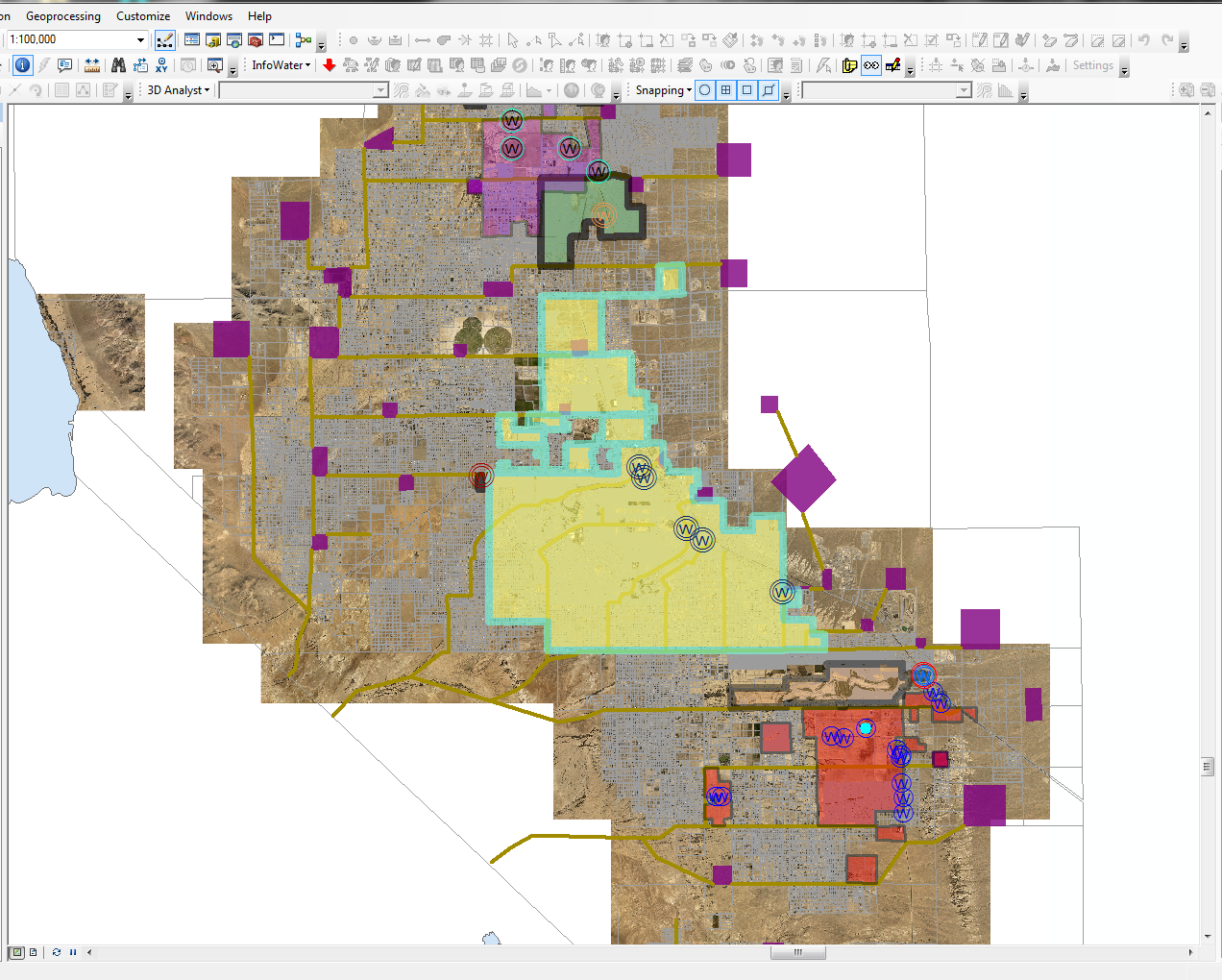
Software and hardware do not solve problems, experience and knowledge coupled with technology do! Shaw’s commitment to maintain the highest level expertise with continued senior level management of all projects remains; as we continue to add the most advanced technologies to get the job done. We are now using software systems like ArcGis with Innovyze (InfoWater) for hydraulic modeling within the GIS environment. Using InfoWater provides the ability to quickly populate hydraulic models with demand and topology information provided in typical data sets that many of our clients maintain. Depending on our clients data availability/format, GIS provides numerous options to link operational data for more refined model calibrations, surge evaluations, and both energy and water quality analysis in extended period simulations (EPS). Shaw continues to offer hydraulic modeling with WaterCad (Bentley), and as always, we can convert any EPAnet model to/from either InfoWater or Water Cad if client conversions are needed.